You are here
Lion Park (Panel 2)
- click images to see larger version -
LION PARK
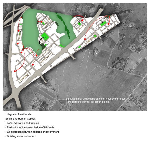
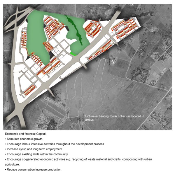
Integrated Mixed-Use Housing Development
Key Strategic Objectives:
Movement assessment: Access 10 and from the site is via the provincial network of Gauleng. Roads bounding the site are currently undergoing upgrade to cope with traffic flows.
Public Transportation (SRT) has no current implementation plans to the location of Lion Park.
Activity Spines: Access to economic development and a vibrant urban environment will necessitate for planned activity spines. The activity spines will create competitiveness between SSME's by facilitating access to premises, trading stalls, finance and support,Activity spines and related business opportunities shall be placed close 10 public transport hubs and link activity nodes.
Transport Orientated Development: Taxi ranks shall support mixed use centres and be located centrally to allow for ease of walking for commuters.
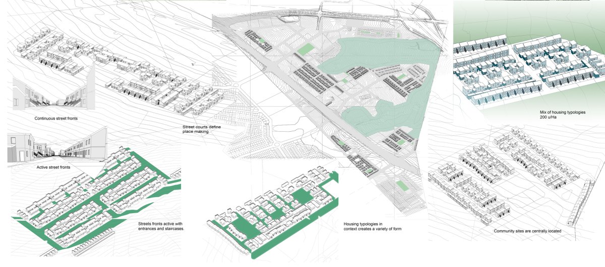
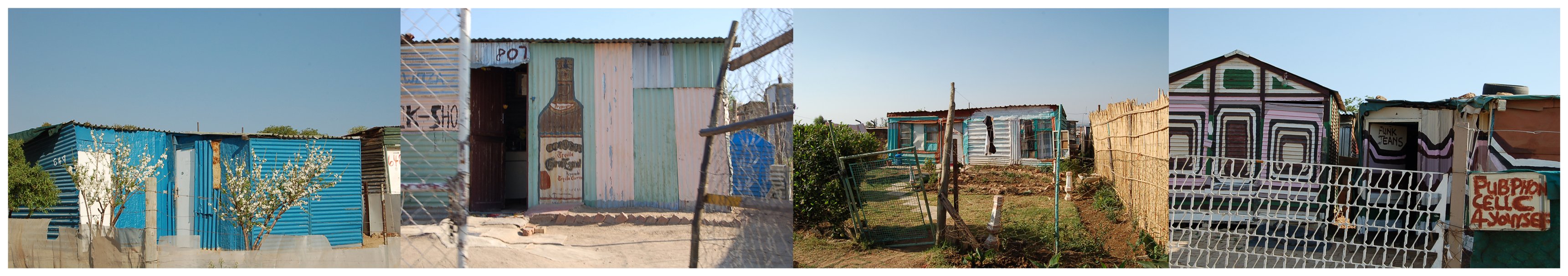
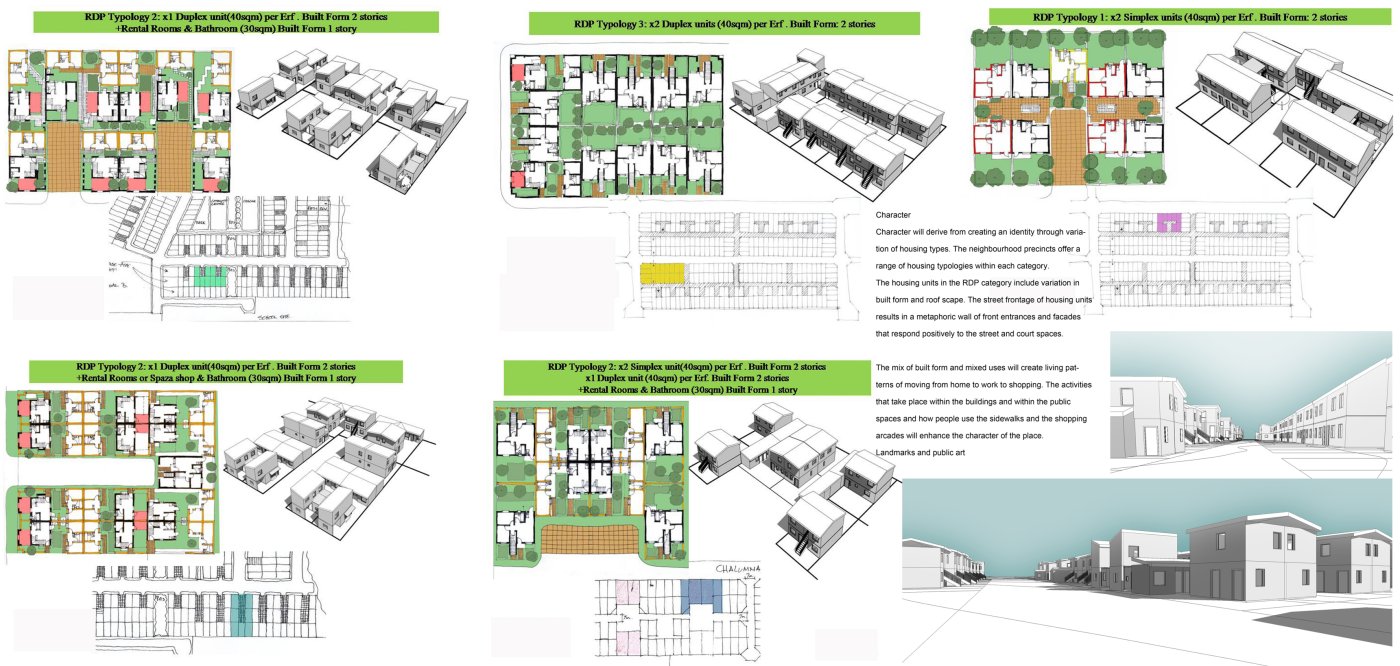
Pedestrian friendly environment: Precincts shall encourage pedestrian movement. High density low rise row housing grouped along narrow roads creates a sense of place within the public street. Public amenities and public open space within a core of RDP housing will offer ease of pedestrian access.
Design of Streets: The design of streets is seen as cri tical to the success of 'place making'. Streets within neighbourhoods of small houses become spaces for living. Social space for children to play and encourage interaction between neighbours. The pedestrian orientated roads open into public courts, parks and squares. The Woonerf concept of road ways shared with public active spaces adds variety and excitement to a backdrop of simple buildings. Building on corners emphasise the openings into streets with corners occupied by different uses such as a corner shop . Neighbourhood streets shall be planted with trees, defining edges and creating shaded canopies. Seating and threshold spaces off streets define privacy gradients into houses and public buildings.
Mixed-Use Nodes: It is envisioned that mixed use nodes become the core to each precinct. The civic node will include civic! municipal buildings, transport rank, public square, informal and formal trading with a residential component on first floor level.
Community nodes within the re sidential precincts will contain centrally placed parks that are defined with flanking social and community buildings with small convenient shopping. Parks will become shared with churches, clinics, community centres and row housing.Mixed uses encourage a work live environment encouraging convenient pedestrian movement between uses.
The dignity for low income communities to inhabit positive urban environments with safe well designed public space and amenities within the neighbourhood will ensure an ownership and pride of place.

- click images to see larger version -
Urban Morphology
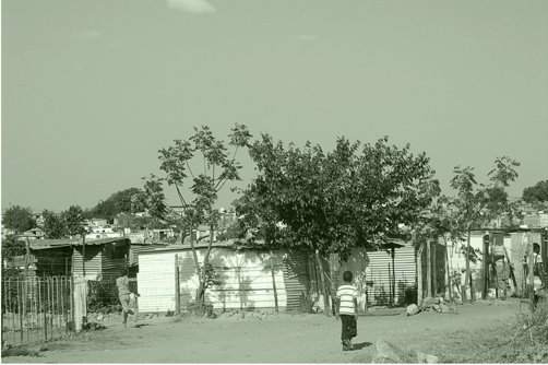
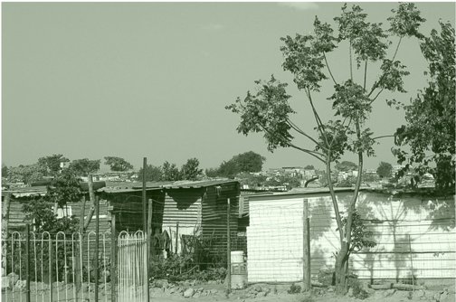
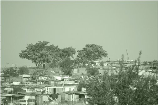
The proposed development is bounded by provincial roads to the west and the south. The existing wetlands to the north define the developments northern edge.
Natural features
The Ecological and Wetland Assessment encompasses the following: • Red Data Species evaluation;' Identification of all plant communities on site; • Site evaluation in terms of potential sensitive habitat; • Delineation of the wetland;
Challenges
To ensure that development takes place in an environmentally sustainable including that the basic environmental condition of the site are part of the development process.
Rehabilitation
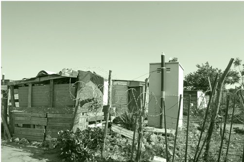
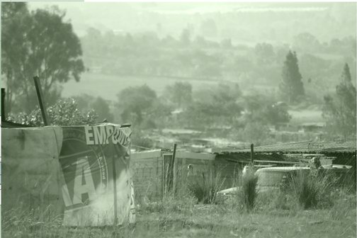
Where informal housing infringes on the wetland area, this housing will have to be removed and the area will have to be rehabilitated to retain its wetland functionality.
Accessibility
It is recommended that natural open areas be retained creating and protecting a public open space system, with corridors linking areas of natural vegetation to promote rehabilitation of natural vegetation and minimise further disturbance.
Safety
The open space system including the wellands needs to be safe for people to use. Visibility, surveilance and comunity policing of the open spaces will reduce criminal activity. Encourage activities to occur at the edges of the wetland to safe guard against desolation, dumping and detruction.
Diversity of adjoining uses
The possible use of the 30m buffer strip around the wetland should be used for activities such as playgrounds, sporting activities, cultural activities, and ecologically related activities such as bird hides and places of educational instruction.
- click images to see larger version -
Connectivity
It is envisioned that raised timber boardwalks be installed in areas that encourage connection across parts of the wetland. This will ensure that the area is active and that ecological awareness is encouraged.
Ecological sustainability
The urban environment will be enhanced by this natural resource. Indigenous vegetation will attract bird life and
ensure protection for endangered species of grass and trees.
Back to Panel 1
.
MICHAEL HART ARCHITECTS URBAN DESIGNERS